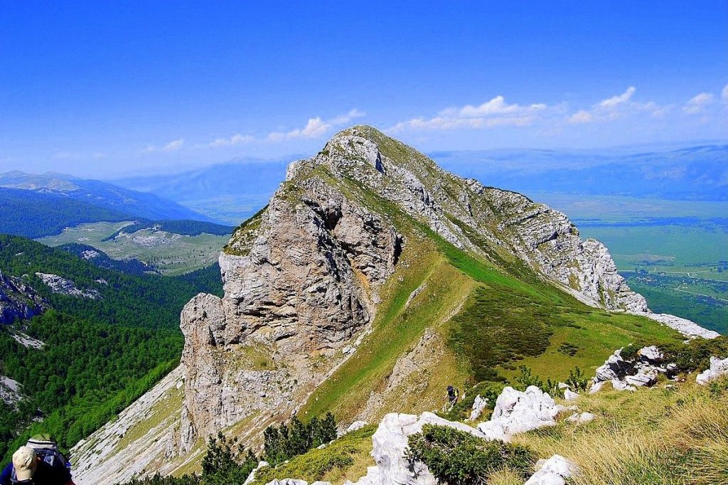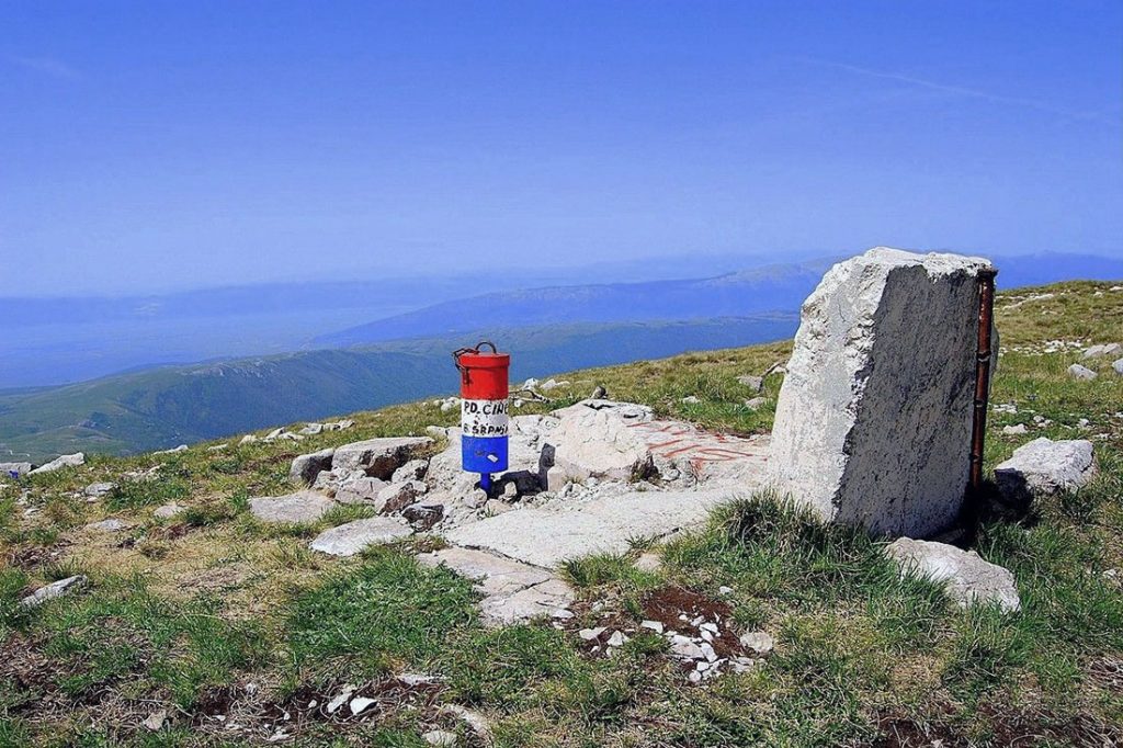
Cincar Mountain, standing at an impressive height of 2,006 meters, is the highest peak in western Bosnia and Herzegovina. As part of the Dinaric Alps chain, this mountain dominates the landscape with its vast dimensions of approximately 20 kilometers by 20 kilometers.
One of the notable features of Cincar Mountain is its expansive grassy spaces, including karst fields, high plateaus, and plains, which are sparsely covered with forests. On the southern slopes, the grassy spaces are particularly prominent, with minimal forestation. The southwestern side of the mountain is bordered by Livanjsko Polje field, which lies at the foothills of Cincar. From there, Cincar gradually rises in two steps. The first step, known as Basajkovac, is a slope that ascends about 600 meters and is partially covered by oak forests. In some areas, the slope becomes steep with cliffs, especially above the town of Livno. Beyond the edge of the slope, there is a vast undulating grassy plateau called Krug Planina, spanning 15 kilometers by 6 kilometers and gradually rising from 1,300 to 1,400 meters. This plateau resembles the prairies of North America and is mostly devoid of trees. On the other side of Krug Planina, the mountain reaches its pinnacle with a towering grassy dome, which is the highest peak of Cincar Mountain.
The northeastern slopes of Cincar are partly covered by beech, fir, and spruce forests, interspersed with beautiful meadows. Above the forest line, dwarf pine vegetation dominates as the terrain reaches the summit. Cincar Mountain is particularly enchanting in October, when the grass turns yellow, creating a vast prairie-like landscape that stretches across the mountain and surrounding fields.
In addition to its highest peak, Cincar, there are other notable peaks within the range, including Malovan (1,826m), Osjecenica (1,798m), Osin Glavica (1,720m), and Voloder (1,640m).
Cincar Mountain experiences a harsh climate, characterized by strong Bura winds, which can reach hurricane force and contribute to the absence of trees on the southwestern slopes. The mountain is covered in snow from mid-October until mid-May, and sometimes even longer, making it an excellent destination for skiing and other winter sports.
Geographically, Cincar Mountain is surrounded by vast karst fields that are typical of the Dinaric Alps. These fields run parallel to the mountains in a northwest to southeast direction and rise like steps. The largest and lowest-lying field is Livanjsko Polje, which stretches for 65 kilometers at an altitude of around 700 meters. On the southeastern corner of Livanjsko Polje is the expansive Busko Blato lake, covering an area of 50 square kilometers. Kamesnica, the last group of the long Dinara mountain range, lies on the opposite side of Livanjsko Polje. Towards the northeast, you’ll find Staretina (1,675m) and Golija (1,890m) mountains, with Cincar connected to them via the Koricina pass (1,113m). These mountains separate Livanjsko Polje from the Glamocko Polje field, which extends northwest of Cincar for 45 kilometers at an average altitude of 1,000 meters. Slovinj mountain, with its highest peak Kujaca (1,834m), serves as Cincar’s northwest neighbor, followed by Kupresko Polje field, which spans 25 kilometers at an altitude of over 1,100 meters.