Hidden in the heart of Bosnia and Herzegovina lies a breathtaking natural wonder, the Visočica Mountain. Nestled southeast and east of Bjelašnica and southwest of Treskavica, this mountain forms a unique plateau that slopes gently towards the south.
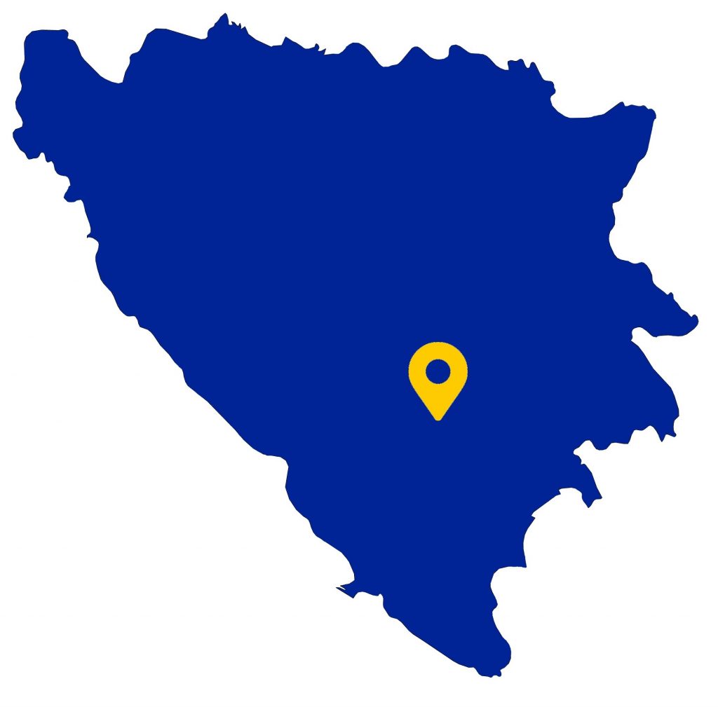
The rugged canyons of Rakitnica and Ljuta, right tributaries of the Neretva River, carve deep chasms into the plateau, separating Visočica from Bjelašnica and Treskavica. To the south and southwest, the mighty Neretva River itself acts as a boundary, separating Visočica from Prenj.
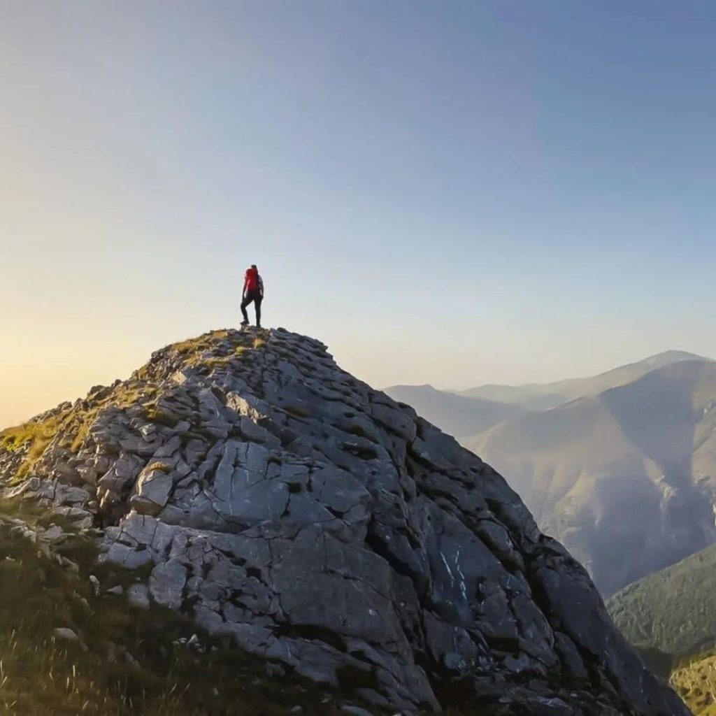
The name “Visočica” likely derives from its numerous towering peaks, which dominate the landscape. This majestic mountain serves as a natural border between central Bosnia and the higher elevations of Herzegovina.
A Geographical Marvel
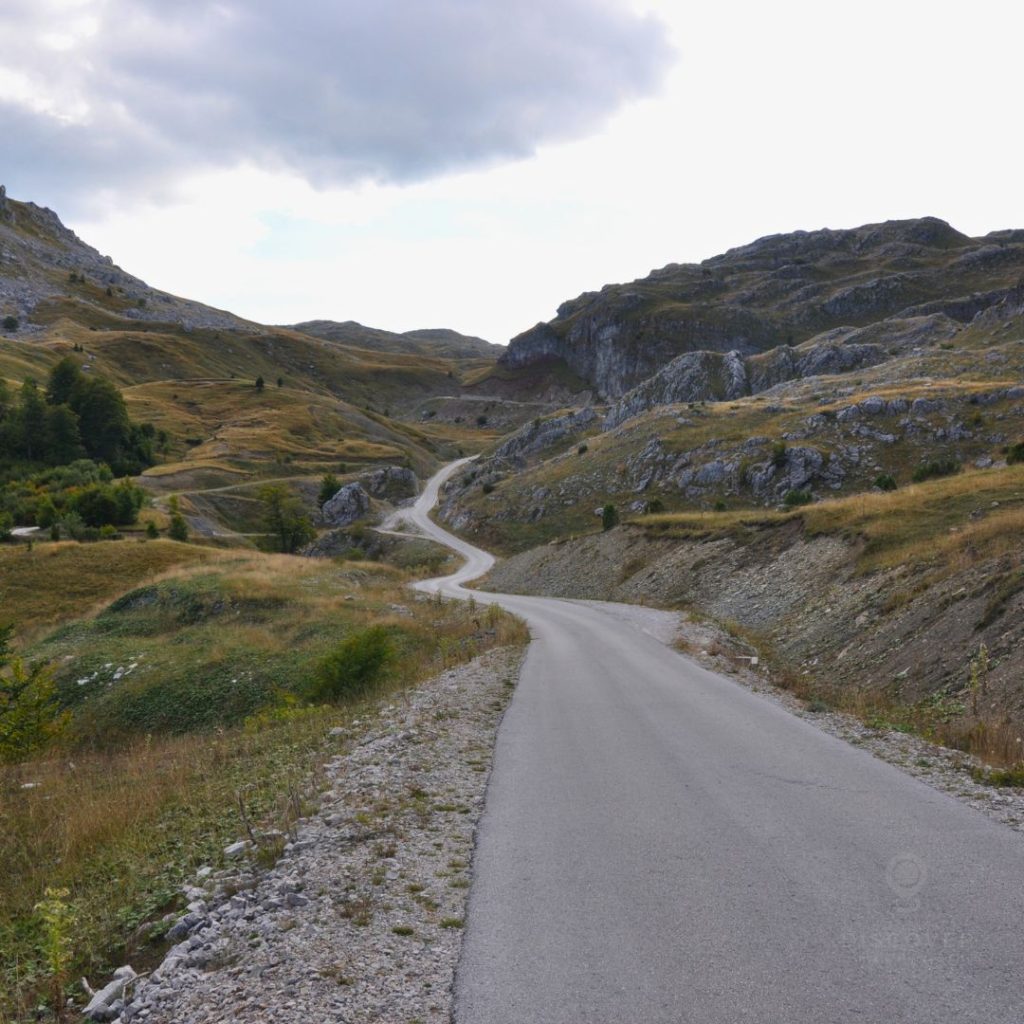
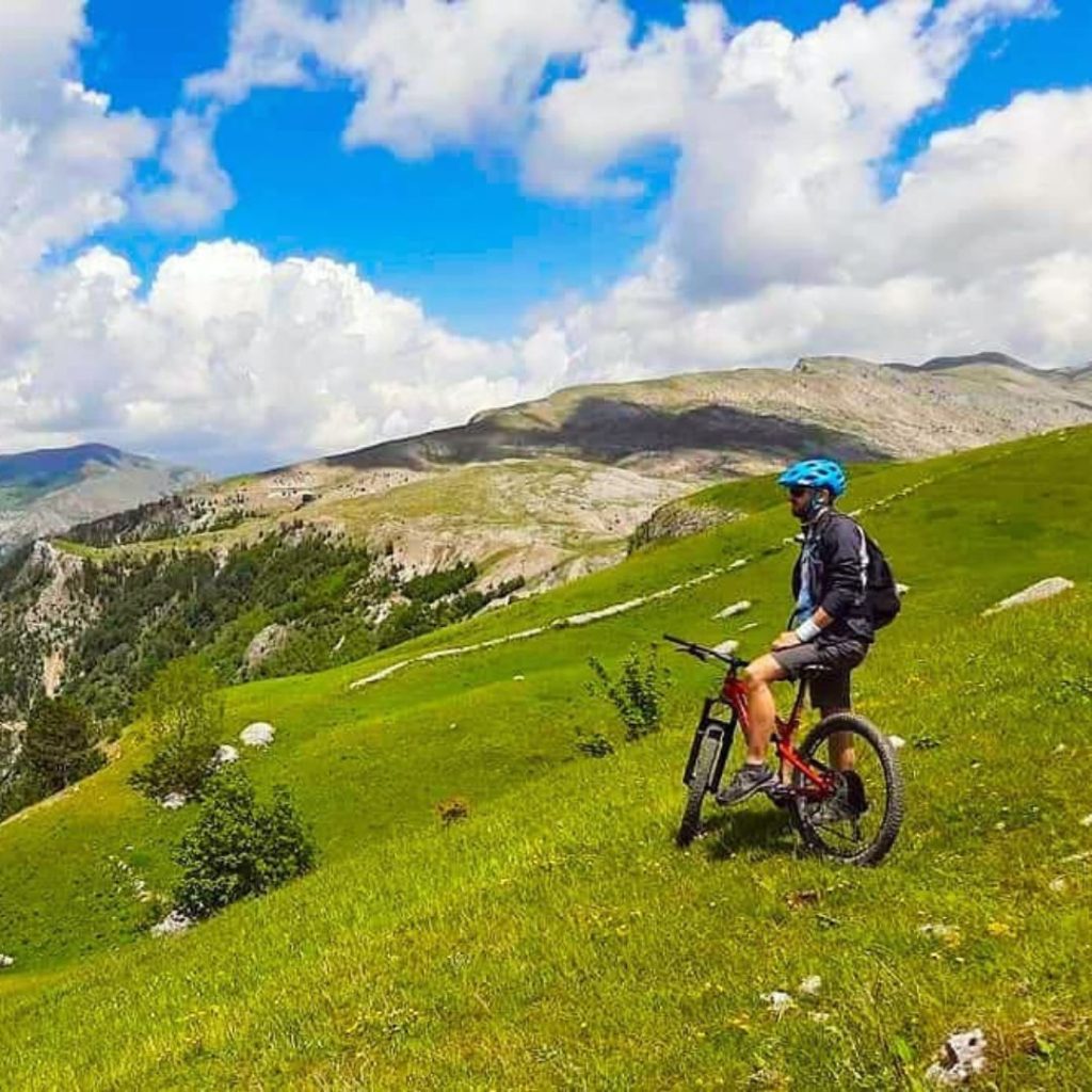
Visočica is adorned with a mountain plateau that gradually descends from 1400 meters in the north to the charming village of Bjelimići in the south. As you traverse this enchanting landscape, you’ll encounter clear traces of past glaciations.
Between Toholja, Ljeljen, and Džamija, you’ll discover Čolakovića Dolovi, a karst depression extending for 7-8 kilometers and spanning 1-1.5 kilometers in width. This pre-glacial marvel boasts two cirques, one nestled deep in Ljeljen, enclosed by moraine walls, and another, more extensive one to the north. These cirques feature smooth surfaces and are carved by glacial deposits.
A Water Oasis in the Sky
The mountain’s high-altitude terrain is relatively arid, with most water sources located near seasonal summer pastures, which have become increasingly scarce. Strong springs typically grace the slopes at the base of the plateau. In the southern part of Visočica, around 1670 meters above sea level, you’ll find the enchanting Veliko jezero or Kolečića bara (Lake Kolečića). Another picturesque spot is Veliko jezero at approximately 1660 meters, situated in the Kaoca area, south of the village of Ozimine, nestled between the peaks of Vito, Subar, Veliko brdo, and Drstva. These water bodies are periodic, filling with water during snowmelt or heavy rainfall, creating breathtaking temporary lakes.
The Majestic Peaks
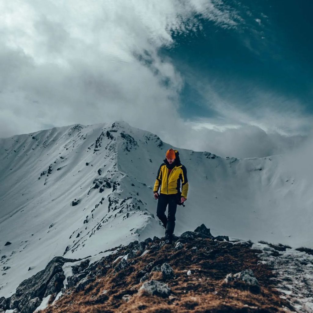
At the heart of the mountain rises the Ljeljen ridge, extending in a northwest-southeast direction. It boasts the highest peak, Džamija (1967 meters), along with slightly lower summits like Veliki Ljeljen (1963 meters) and Mali Ljeljen (1860 meters). Other prominent peaks include Vito (1960 meters), Subar (1820 meters), Veliko brdo (1884 meters), Drstva (1808 meters), Puzim (1776 meters), and more. This ridge divides the mountain into its northern part, characterized by mountain pastures at 1300 to 1400 meters above sea level, and the southern part, which is forested and descends towards the Neretva valley.
Historical and Cultural Treasures
Visočica’s rich history also includes the Poljice necropolis, featuring 49 medieval stećak tombstones (33 slabs, 10 chests, and 6 ridged stećci) located at an elevation of 1691 meters near Veliko jezero. This site has been declared a national monument of Bosnia and Herzegovina.
Charming Mountain Villages
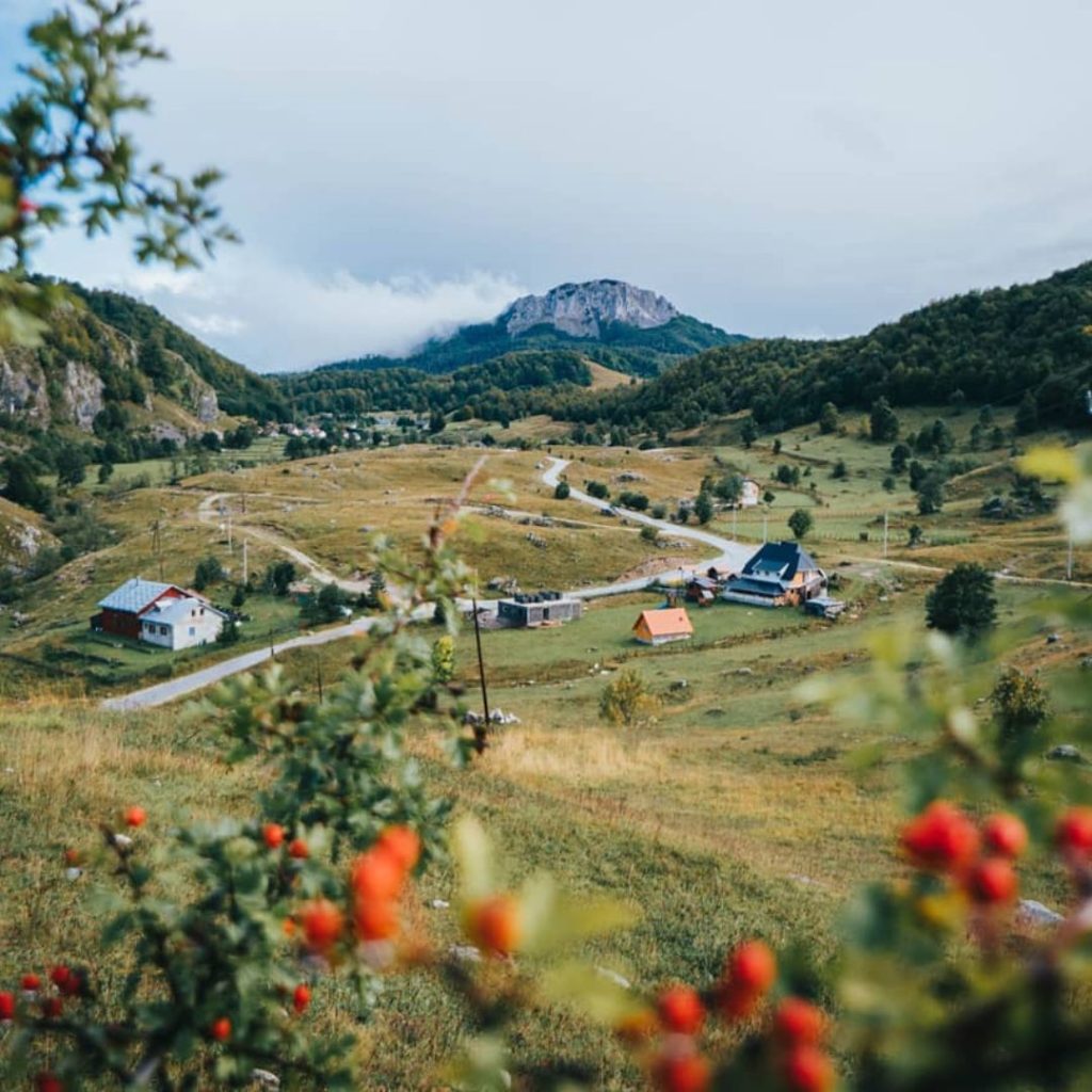
High-altitude villages dot the landscape, offering a glimpse into traditional Bosnian mountain life. From Bobovica, Ozimine, Đulbašići, Pervizi, and Sinanovići in the north, to Luka, Ježeprasina, Odžaci (Bjelimići), Gradeljina, Svijenča, Argud, Dužani, Blaca, Dudle, Grušća, and Prebilje in the south, these villages add character and warmth to the Visočica experience.
Zoran Šimić Shelter – A Mountain Refuge
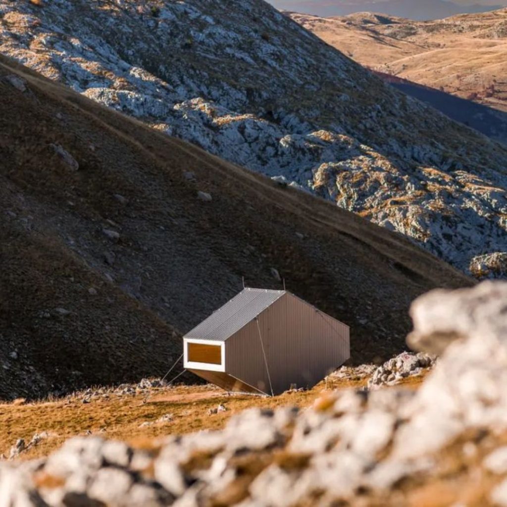
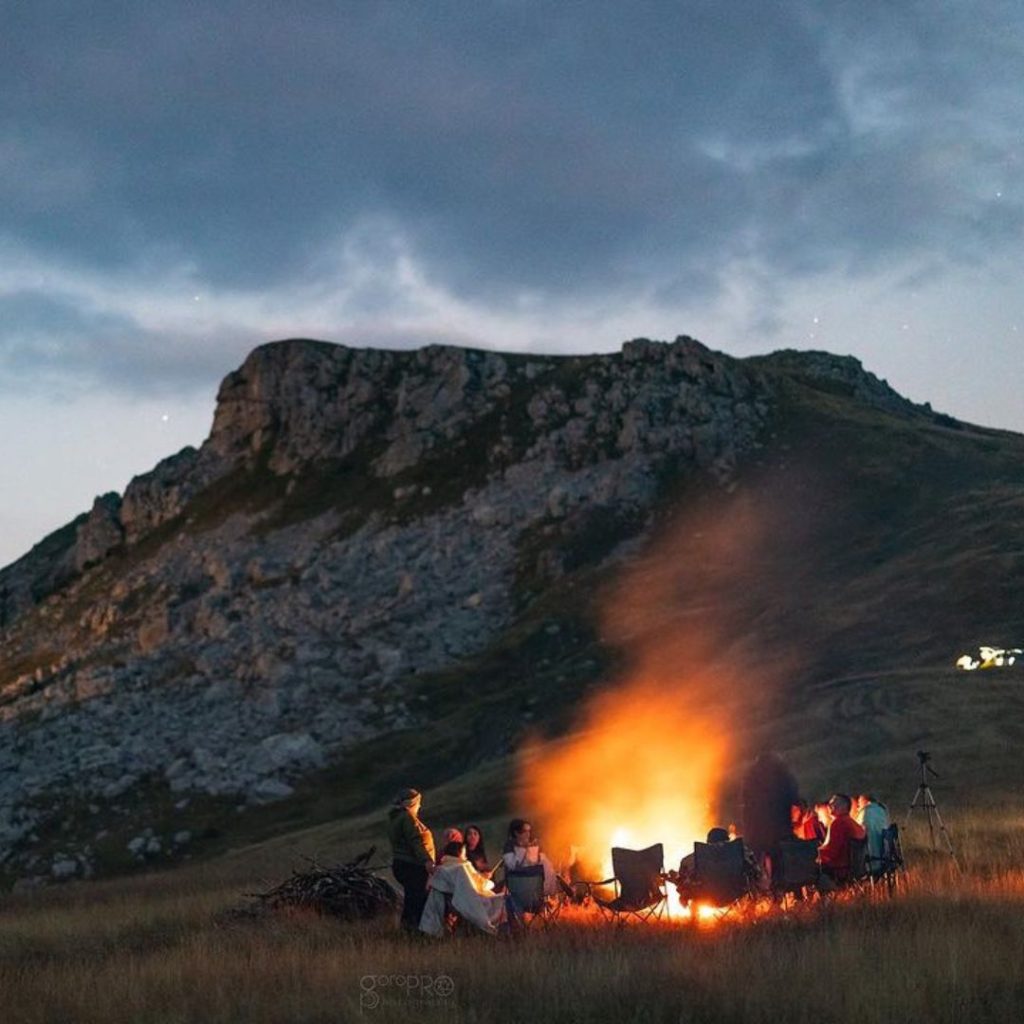
Nestled at an altitude above 1,700 meters beneath the iconic “Džamija” location, Zoran Shelter is an architectural masterpiece born from Filter Architecture’s imagination. This unique structure is not just a shelter; it’s a work of art.
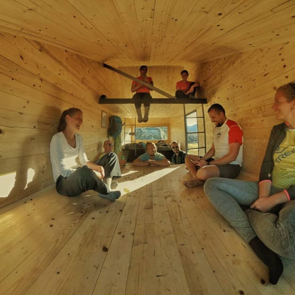
Zoran Simic Shelter is strategically placed along the renowned Red Trail of the Vučko Trail and the Via Dinarica route. Via Dinarica unites seven countries and territories along the Dinaric Alps, stretching from Slovenia to northern Albania. This means Zoran Simic Shelter is not just a place to rest; it’s a waypoint on an epic journey through breathtaking landscapes and rich cultural experiences.
Via Dinarica route to Bivak Zoran Simic
Adventure Awaits
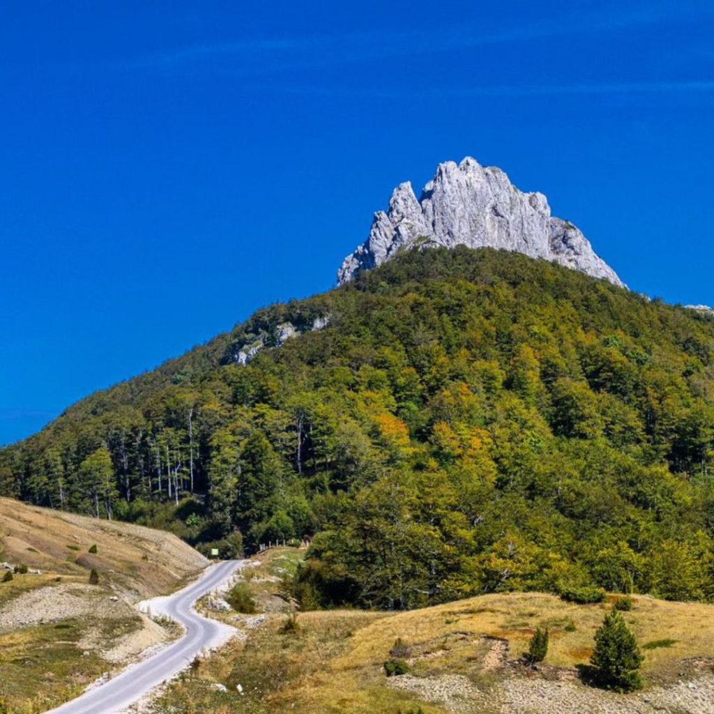
For adventure seekers, the distinctive Puzim peak (1776 meters) stands as a beacon, drawing attention with its pointed summits and spires.
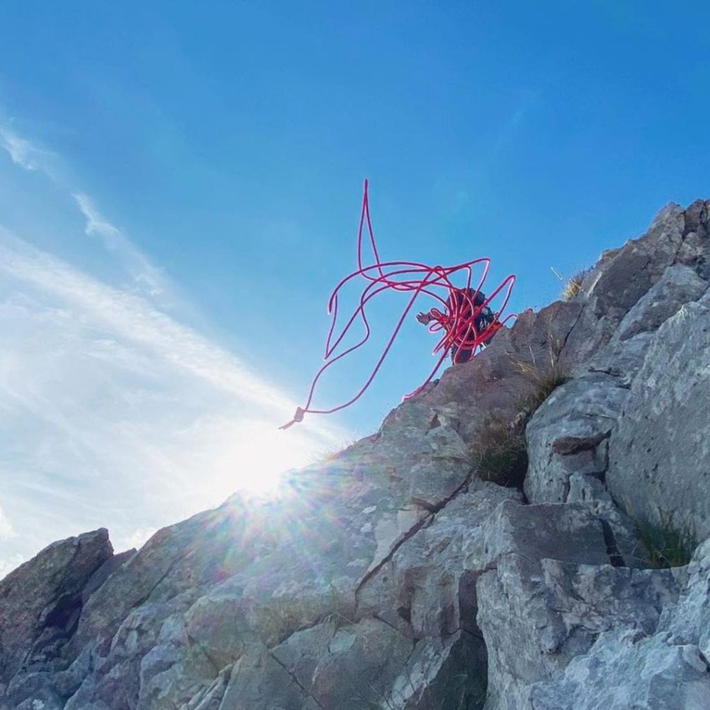
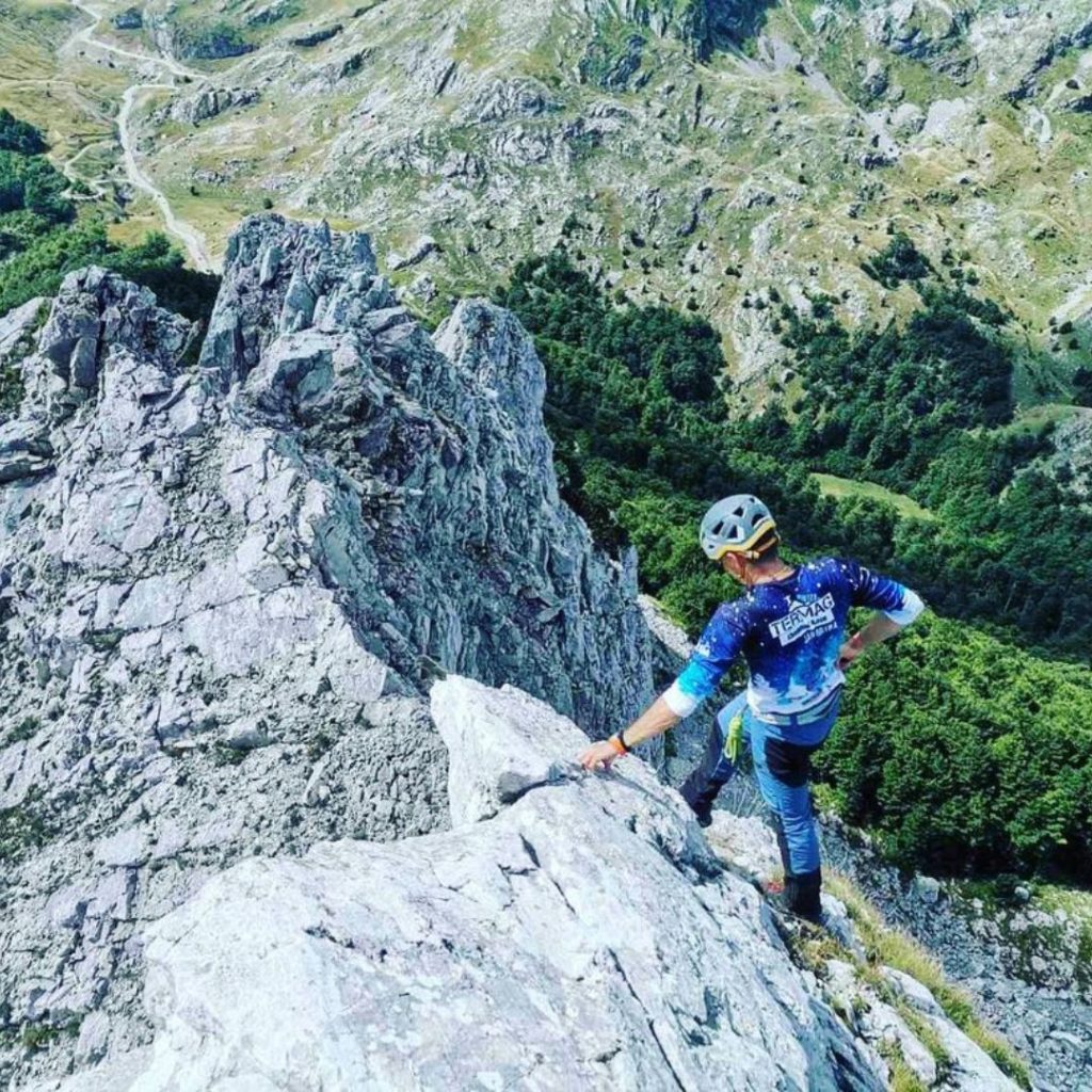
The rocky formations of Puzim, along with the entire Visočica, provide an exhilarating challenge for climbers and mountaineers. Access to some peaks may still be limited due to post-war safety concerns, so it’s essential to check local conditions before embarking on your journey.
